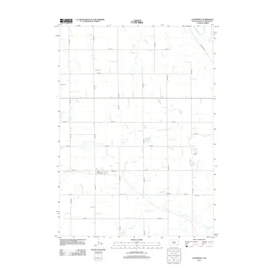
2012 Map of Lesterville
USGS Topo · Published 2012About this map
Small rural burying grounds such as Odessa Cem, Reform Cem, and Mueller Cem dot this section of Lesterville Township, indicating a deep history of family farming and local community ties in Yankton County. The landscape is defined by the meandering James River in the northeast corner and the course of Beaver Cr further south, with a rigid grid of section roads like 430th Ave and 300th St providing the framework for agricultural life. Near the southern portion of the map, Railroad St and Saint Johns Cem mark a focal point for the surrounding homesteads. This 2012 survey illustrates how the township maintains its traditional layout, where the placement of cemeteries like Klasi Cem and Civil Cem preserves the memory of early settlers within the modern South Dakota prairie.
Find a feature on this map
26 named features on this map. Tap any name to fly to it.
Don’t see what you’re looking for? This feature index may not catch every label — zoom into the map to look around manually.
Map Details
Editions of this 2012 Lesterville Map
This is the sole edition of this map. No revisions or reprints were ever made.
Other maps of this area

1898 · Olivet
USGS Topo · 1:125,000

1898 · Parker
USGS Topo · 1:125,000

1955 · Sioux City
USGS Topo · 1:250,000

1955 · Sioux Falls
USGS Topo · 1:250,000

1957 · Midway
USGS Topo · 1:24,000

1957 · Menno
USGS Topo · 1:24,000

1957 · Jamesville
USGS Topo · 1:24,000

1957 · Scotland
USGS Topo · 1:24,000

1958 · Sioux City
USGS Topo · 1:250,000

1958 · Sioux Falls
USGS Topo · 1:250,000
Featured Places
- Lesterville, SD
- Lesterville Township, SD
- Odessa Township, SD
- Central Township, SD
- Jamesville Township, SD