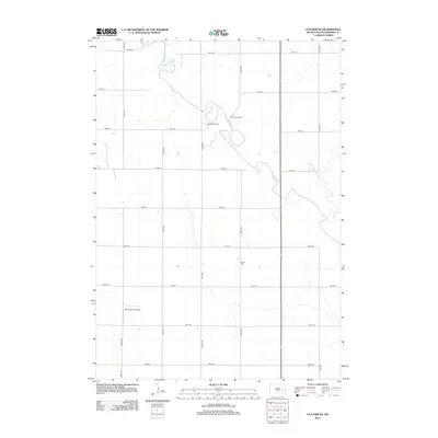
2012 Map of Letcher NE
USGS Topo · Published 2012About this map
The James River meanders sharply across this section of Sanborn County, creating a series of complex oxbows and bends that define the local topography. This early 21st-century landscape is characterized by a structured grid of rural roads, including 405th Ave and 234th St, which segment the prairie into agricultural and ranching parcels. Named properties like Rainbow Ranch and Many Trails Ranch sit along the river's path, highlighting the continued importance of the waterway to local land use.
Find a feature on this map
20 named features on this map. Tap any name to fly to it.
Don’t see what you’re looking for? This feature index may not catch every label — zoom into the map to look around manually.
Map Details
Editions of this 2012 Letcher NE Map
This is the sole edition of this map. No revisions or reprints were ever made.
Other maps of this area

1898 · Huron
USGS Topo · 1:125,000

1899 · Mitchell
USGS Topo · 1:125,000

1899 · Alexandria
USGS Topo · 1:125,000

1899 · De Smet
USGS Topo · 1:125,000

1953 · Huron
USGS Topo · 1:250,000

1953 · Watertown
USGS Topo · 1:250,000

1954 · Huron
USGS Topo · 1:250,000

1955 · Sioux Falls
USGS Topo · 1:250,000

1955 · Mitchell
USGS Topo · 1:250,000

1957 · Farwell NW
USGS Topo · 1:24,000