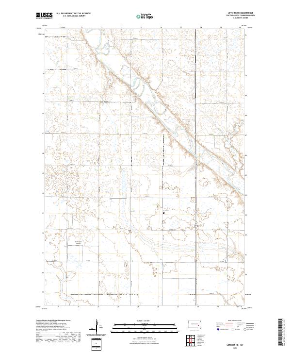
2021 Map of Letcher NE
USGS Topo · Published 2021About this map
The James River meanders through the heart of Sanborn County, defining the drainage patterns and land divisions of this agricultural landscape. The map reveals the rigid section lines of the Public Land Survey System, where townships like t106n r60w are meticulously gridded by gravel and paved roads such as Co Hwy 29 and 234th St. For those researching local burial sites or family heritage, the Butler Cem stands as a primary landmark in the eastern portion of the quadrangle.
Find a feature on this map
28 named features on this map. Tap any name to fly to it.
Don’t see what you’re looking for? This feature index may not catch every label — zoom into the map to look around manually.
Map Details
Editions of this 2021 Letcher NE Map
This is the sole edition of this map. No revisions or reprints were ever made.
Other maps of this area

1898 · Huron
USGS Topo · 1:125,000

1899 · Mitchell
USGS Topo · 1:125,000

1899 · Alexandria
USGS Topo · 1:125,000

1899 · De Smet
USGS Topo · 1:125,000

1953 · Huron
USGS Topo · 1:250,000

1953 · Watertown
USGS Topo · 1:250,000

1954 · Huron
USGS Topo · 1:250,000

1955 · Sioux Falls
USGS Topo · 1:250,000

1955 · Mitchell
USGS Topo · 1:250,000

1957 · Farwell NW
USGS Topo · 1:24,000