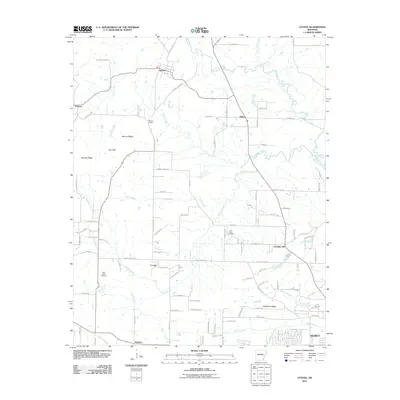
2011 Map of Letona
USGS Topo · Published 2011About this map
Big Creek and its many tributaries, including Owl Creek and Panther Creek, dictate the movement and settlement patterns north of the growing outskirts of Searcy. This early 21st-century landscape is defined by its high points and gaps, with Mount Pisgah and Georgia Ridge rising above the winding rural roads. The area is dotted with small, historically established communities such as Letona, Albion, and Crosby, which maintain their identity even as larger residential developments expand near Fourmile Hill.
Find a feature on this map
91 named features on this map. Tap any name to fly to it.
Don’t see what you’re looking for? This feature index may not catch every label — zoom into the map to look around manually.
Map Details
Editions of this 2011 Letona Map
This is the sole edition of this map. No revisions or reprints were ever made.
Other maps of this area

1932 · Kensett
USGS Topo · 1:62,500

1935 · Kensett
USGS Topo · 1:62,500

1935 · Bald Knob
USGS Topo · 1:62,500

1953 · Memphis
USGS Topo · 1:250,000

1956 · Memphis
USGS Topo · 1:250,000

1962 · Pangburn
USGS Topo · 1:24,000

1962 · Letona
USGS Topo · 1:24,000

1963 · Garner
USGS Topo · 1:24,000

1963 · Floyd
USGS Topo · 1:24,000

1963 · West Pangburn
USGS Topo · 1:24,000