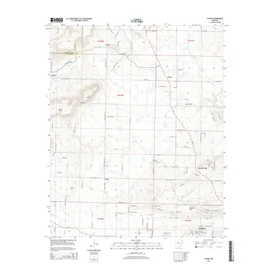
2014 Map of Letona
USGS Topo · Published 2014About this map
Letona and the surrounding rural communities of White County are depicted during a period of modern expansion near the northern edge of Searcy. The landscape is defined by a series of prominent ridges, including Georgia Ridge and Backbone Ridge, which dictate the winding paths of rural routes like Pickens Chapel Rd and Letona Rd. Small agricultural settlements such as Pickens, Crosby, and Albion remain distinct, separated by a network of waterways like Big Creek and Panther Cr. Notable local landmarks and genealogical sites are scattered throughout, including the Saint Pauls Cem and New Hope Cem. The transition from the more rugged terrain of Mt Pisgah to the developing outskirts of the county seat highlights the evolving land use as residential loops begin to appear alongside traditional family farms.
Find a feature on this map
118 named features on this map. Tap any name to fly to it.
Don’t see what you’re looking for? This feature index may not catch every label — zoom into the map to look around manually.
Map Details
Editions of this 2014 Letona Map
This is the sole edition of this map. No revisions or reprints were ever made.
Other maps of this area

1932 · Kensett
USGS Topo · 1:62,500

1935 · Kensett
USGS Topo · 1:62,500

1935 · Bald Knob
USGS Topo · 1:62,500

1953 · Memphis
USGS Topo · 1:250,000

1956 · Memphis
USGS Topo · 1:250,000

1962 · Pangburn
USGS Topo · 1:24,000

1962 · Letona
USGS Topo · 1:24,000

1963 · Garner
USGS Topo · 1:24,000

1963 · Floyd
USGS Topo · 1:24,000

1963 · West Pangburn
USGS Topo · 1:24,000