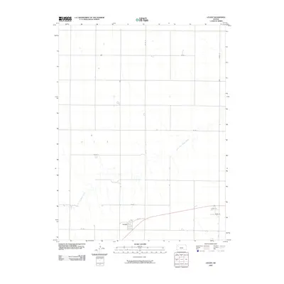
2009 Map of Levant
USGS Topo · Published 2009About this map
Levant sits in the southwestern portion of this Thomas County landscape, where the town layout is defined by streets like Hale and 4th St. The surrounding terrain is primarily structured by a vast grid of section roads, including Co Rd R and Co Rd 12, which manage the agricultural expanse of the High Plains. Meandering across this ordered grid is the South Fork Sappa Creek, which cuts an irregular path from the southwest toward the northeast. This 2009 survey highlights the relationship between the linear human infrastructure of the Kansas plains and the natural drainage patterns of the creek, which provides the primary topographic variation in an otherwise uniform landscape of section lines and rural homesteads.
Find a feature on this map
13 named features on this map. Tap any name to fly to it.
Don’t see what you’re looking for? This feature index may not catch every label — zoom into the map to look around manually.
Map Details
Editions of this 2009 Levant Map
This is the sole edition of this map. No revisions or reprints were ever made.
Other maps of this area

1943 · Colby
USGS Topo · 1:62,500

1951 · Chardon
USGS Topo · 1:62,500

1951 · Dewey Ranch
USGS Topo · 1:62,500

1954 · Goodland
USGS Topo · 1:250,000

1956 · Goodland
USGS Topo · 1:250,000

1957 · Goodland
USGS Topo · 1:250,000

1966 · Brewster SE
USGS Topo · 1:24,000

1967 · Brewster NE
USGS Topo · 1:24,000

1967 · Colby SE
USGS Topo · 1:24,000

1967 · Levant
USGS Topo · 1:24,000