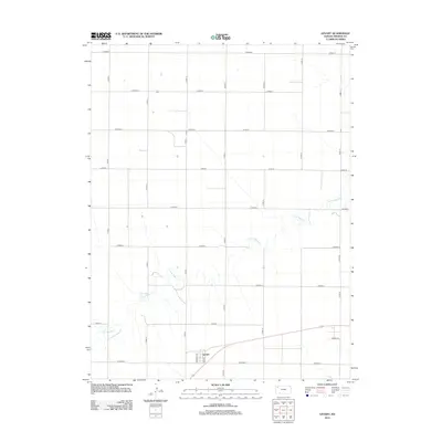
2012 Map of Levant
USGS Topo · Published 2012About this map
Levant sits in the southwestern portion of this Thomas County quadrangle, serving as the primary hub of human settlement amidst a sprawling agricultural grid. The township is characterized by its orderly road system, with thoroughfares like Hale St and Harrison St defining its local footprint. Beyond the town, the landscape is defined by the winding course of the S Fork Sappa Cr, which cuts diagonally across the central and southern sections, introducing the only significant natural variation to the otherwise geometric layout of county roads. This 2012 survey illustrates the persistence of High Plains farming infrastructure, where the section-line road network, including Co Road R and Co Road Z, facilitates the transport of agricultural goods through the heart of the Kansas prairie.
Find a feature on this map
22 named features on this map. Tap any name to fly to it.
Don’t see what you’re looking for? This feature index may not catch every label — zoom into the map to look around manually.
Map Details
Editions of this 2012 Levant Map
This is the sole edition of this map. No revisions or reprints were ever made.
Other maps of this area

1943 · Colby
USGS Topo · 1:62,500

1951 · Chardon
USGS Topo · 1:62,500

1951 · Dewey Ranch
USGS Topo · 1:62,500

1954 · Goodland
USGS Topo · 1:250,000

1956 · Goodland
USGS Topo · 1:250,000

1957 · Goodland
USGS Topo · 1:250,000

1966 · Brewster SE
USGS Topo · 1:24,000

1967 · Brewster NE
USGS Topo · 1:24,000

1967 · Colby SE
USGS Topo · 1:24,000

1967 · Levant
USGS Topo · 1:24,000