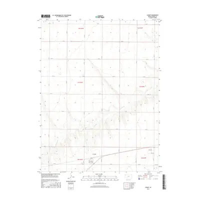
2015 Map of Levant
USGS Topo · Published 2015About this map
Levant serves as the primary hub for this section of Thomas County, situated on the high plains where the grid of county roads meets the drainage of the S Fork Sappa Cr. The settlement is defined by its compact street network, including named thoroughfares like Harrison, Hovey, and Hale St. The surrounding landscape is characterized by the expansive agricultural sections of the Land Ordinance system, marked by township boundaries such as t7s r35w and t7s r34w. To the southeast, newer development is indicated by Pioneer Dr and Prairie Dr, while the meandering course of the S Fork Sappa Cr cuts through the western and central portions of the quadrangle, creating a rare break in the geometric regularity of the region's transportation corridors.
Find a feature on this map
33 named features on this map. Tap any name to fly to it.
Don’t see what you’re looking for? This feature index may not catch every label — zoom into the map to look around manually.
Map Details
Editions of this 2015 Levant Map
This is the sole edition of this map. No revisions or reprints were ever made.
Other maps of this area

1943 · Colby
USGS Topo · 1:62,500

1951 · Chardon
USGS Topo · 1:62,500

1951 · Dewey Ranch
USGS Topo · 1:62,500

1954 · Goodland
USGS Topo · 1:250,000

1956 · Goodland
USGS Topo · 1:250,000

1957 · Goodland
USGS Topo · 1:250,000

1966 · Brewster SE
USGS Topo · 1:24,000

1967 · Brewster NE
USGS Topo · 1:24,000

1967 · Colby SE
USGS Topo · 1:24,000

1967 · Levant
USGS Topo · 1:24,000