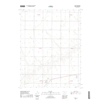
2018 Map of Levant
USGS Topo · Published 2018About this map
Levant serves as the primary focal point of this Thomas County survey, situated amidst the high plains agricultural landscape. The town site is defined by a grid including Main, Harrison, and Hovey streets, reflecting the organized layout of a late-20th-century rural settlement. To the east of the town center, residential developments like Prairie Dr and Sagebrush Rd suggest modern expansion near College St.
Find a feature on this map
33 named features on this map. Tap any name to fly to it.
Don’t see what you’re looking for? This feature index may not catch every label — zoom into the map to look around manually.
Map Details
Editions of this 2018 Levant Map
This is the sole edition of this map. No revisions or reprints were ever made.
Other maps of this area

1943 · Colby
USGS Topo · 1:62,500

1951 · Chardon
USGS Topo · 1:62,500

1951 · Dewey Ranch
USGS Topo · 1:62,500

1954 · Goodland
USGS Topo · 1:250,000

1956 · Goodland
USGS Topo · 1:250,000

1957 · Goodland
USGS Topo · 1:250,000

1966 · Brewster SE
USGS Topo · 1:24,000

1967 · Brewster NE
USGS Topo · 1:24,000

1967 · Colby SE
USGS Topo · 1:24,000

1967 · Levant
USGS Topo · 1:24,000