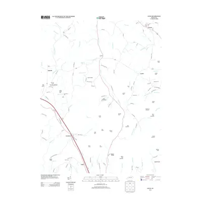
2013 Map of Levee
USGS Topo · Published 2013About this map
Lulbegrud Cr winds through this Central Kentucky landscape, anchoring a network of small settlements and family-named landmarks. The terrain is defined by a series of prominent knobs and ridges, including Pilot Knob, Grape Knob, and Barlow Ridge. These elevations overlook historical hubs like Levee, Camargo, and Westbend. Genealogists will find interest in localized sites such as the Willoughby Cem and the Thomas Mill site along Brush Cr.
Find a feature on this map
124 named features on this map. Tap any name to fly to it.
Don’t see what you’re looking for? This feature index may not catch every label — zoom into the map to look around manually.
Map Details
Editions of this 2013 Levee Map
This is the sole edition of this map. No revisions or reprints were ever made.
Other maps of this area

1892 · Richmond
USGS Topo · 1:125,000

1892 · Beattyville
USGS Topo · 1:125,000

1897 · Richmond
USGS Topo · 1:125,000

1950 · Levee
USGS Topo · 1:24,000

1952 · Preston
USGS Topo · 1:24,000

1952 · Palmer
USGS Topo · 1:24,000

1952 · Clay City
USGS Topo · 1:24,000

1952 · Mount Sterling
USGS Topo · 1:24,000

1952 · Stanton
USGS Topo · 1:24,000

1952 · Means
USGS Topo · 1:24,000