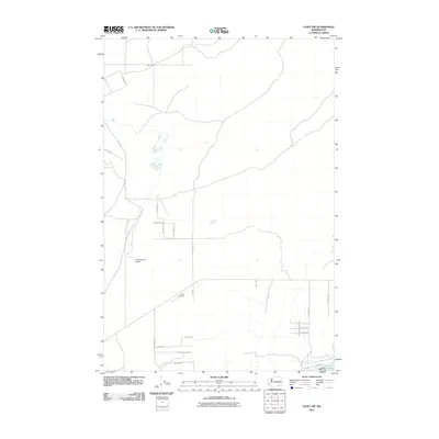
2011 Map of Levey SW
USGS Topo · Published 2011About this map
Lake Sacajawea and the infrastructure of the Ice Harbor Lock and Dam define the southern edge of this Franklin County landscape. This 2011 survey documents a highly organized rural grid of roads, reflecting the agricultural development of the Snake River region. Local aviation is supported by the Columbia Ag Airport and Carr Airport, which serve the large-scale farming operations indicated by names like Tree Farm Rd. The transport network is thorough, with named routes such as Martindale Rd, Haugen Rd, and Peterson Rd providing access across the interior sections north of the river. The map illustrates the specialized land use of the era, where commercial agriculture and water management systems converge.
Find a feature on this map
25 named features on this map. Tap any name to fly to it.
Don’t see what you’re looking for? This feature index may not catch every label — zoom into the map to look around manually.
Map Details
Editions of this 2011 Levey SW Map
This is the sole edition of this map. No revisions or reprints were ever made.
Other maps of this area

1915 · Wallulah
USGS Topo · 1:96,000

1917 · Pasco
USGS Topo · 1:125,000

1918 · Wallula
USGS Topo · 1:125,000

1953 · Walla Walla
USGS Topo · 1:250,000

1958 · Walla Walla
USGS Topo · 1:250,000

1963 · Rye Grass Coulee
USGS Topo · 1:24,000

1964 · Levey SW
USGS Topo · 1:24,000

1964 · Levey SE
USGS Topo · 1:24,000

1964 · Slater
USGS Topo · 1:24,000

1964 · Levey NE
USGS Topo · 1:24,000