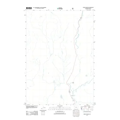
2012 Map of Lewis Canyon
USGS Topo · Published 2012About this map
Lewis Canyon serves as the dramatic focal point of this region, where the Lewis River converges with the Snake River near the park's southern boundary. The presence of hydrothermal features like Phantum Fumarole, Crawfish Creek Hot Springs, and South Entrance Hot Springs highlights the active geothermal nature of the landscape. Settlement is concentrated at the South Entrance, providing a hub for travelers moving along the highway corridors of 191 and 287. The mapping of small water bodies such as Forest Lake and Tanager Lake, alongside tributaries like Polecat Cr and Spirea Cr, illustrates a complex drainage network feeding into the canyon. This survey records the intersection of wild thermal activity and the infrastructure of the National Park system, including the scenic Moose Falls near the highway junction.
Find a feature on this map
19 named features on this map. Tap any name to fly to it.
Don’t see what you’re looking for? This feature index may not catch every label — zoom into the map to look around manually.
Map Details
Editions of this 2012 Lewis Canyon Map
This is the sole edition of this map. No revisions or reprints were ever made.
Other maps of this area

1886 · Shoshone
USGS Topo · 1:125,000

1888 · Shoshone
USGS Topo · 1:125,000

1895 · Shoshone
USGS Topo · 1:125,000

1901 · Shoshone
USGS Topo · 1:125,000

1908 · Shoshone
USGS Topo · 1:125,000

1911 · Shoshone
USGS Topo · 1:125,000

1955 · Ashton
USGS Topo · 1:250,000
1956 · West Thumb
USGS Topo · 1:62,500

1956 · Old Faithful
USGS Topo · 1:62,500

1956 · Grassy Lake Reservoir
USGS Topo · 1:62,500