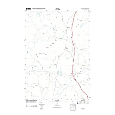
2013 Map of Lewis
USGS Topo · Published 2013About this map
The N Br Boquet River carves through this northern Adirondack landscape, where the town of Lewis serves as a central hub for a network of rural roads. This 2013 survey illustrates the dense concentration of named peaks and ridges that define the local geography, such as Kiln Mtn and Sugar Hill, alongside legacy industrial identifiers like Ore Bed Pond. The settlement pattern is characterized by scattered hamlets including Stowersville, Deerhead, and Crowningshield, linked by historic routes like Stowersville Rd and Deerhead Rd.
Find a feature on this map
98 named features on this map. Tap any name to fly to it.
Don’t see what you’re looking for? This feature index may not catch every label — zoom into the map to look around manually.
Map Details
Editions of this 2013 Lewis Map
This is the sole edition of this map. No revisions or reprints were ever made.
Other maps of this area

1894 · Elizabethtown
USGS Topo · 1:62,500

1894 · Port Henry
USGS Topo · 1:62,500

1895 · Willsboro
USGS Topo · 1:62,500

1895 · Elizabethtown
USGS Topo · 1:62,500

1895 · Ausable
USGS Topo · 1:62,500

1898 · Port Henry
USGS Topo · 1:62,500

1901 · Elizabethtown
USGS Topo · 1:62,500

1903 · Ausable
USGS Topo · 1:62,500

1941 · Willsboro
USGS Topo · 1:62,500

1943 · Willsboro
USGS Topo · 1:62,500