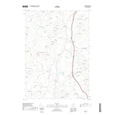
2019 Map of Lewis
USGS Topo · Published 2019About this map
Lewis and Deerhead anchor this 2019 survey of the eastern Adirondack foothills, where the landscape is defined by its deep history of land use and rugged granite peaks. The map reveals a cluster of small settlements including Stowersville and Crowningshield positioned along the N Br Boquet River and Spruce Mill Brook. These communities remain linked by narrow mountain lanes like Seventy Ln and Hale Hill Ln, reflecting an era of enduring rural character.
Find a feature on this map
99 named features on this map. Tap any name to fly to it.
Don’t see what you’re looking for? This feature index may not catch every label — zoom into the map to look around manually.
Map Details
Editions of this 2019 Lewis Map
This is the sole edition of this map. No revisions or reprints were ever made.
Other maps of this area

1894 · Elizabethtown
USGS Topo · 1:62,500

1894 · Port Henry
USGS Topo · 1:62,500

1895 · Willsboro
USGS Topo · 1:62,500

1895 · Elizabethtown
USGS Topo · 1:62,500

1895 · Ausable
USGS Topo · 1:62,500

1898 · Port Henry
USGS Topo · 1:62,500

1901 · Elizabethtown
USGS Topo · 1:62,500

1903 · Ausable
USGS Topo · 1:62,500

1941 · Willsboro
USGS Topo · 1:62,500

1943 · Willsboro
USGS Topo · 1:62,500