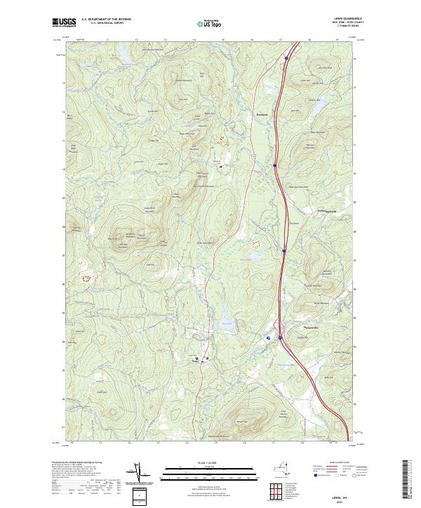
2023 Map of Lewis
USGS Topo · Published 2023About this map
Adirondack Park Preserve lands dominate the high ground of Essex County, where the North Branch Boquet River and its tributaries carve a complex drainage system through the mountains. This modern survey shows the central corridor of Lewis and Stowersville along the north-south highway, bordered by a dense network of family-named peaks such as Perkett Mountain, Lesperance Mountain, and Taylor Mountain. The landscape retains traces of earlier industry and settlement patterns, indicated by features like Kiln Mountain and Ore Bed Pond, reflecting the region’s history of charcoal production and mining. Genealogy researchers will find significant value in the clear demarcation of the Lewis Cem and Deerhead Cem, alongside isolated clearings like The Plains and the wetlands of McGrae Swamp and Hathaway Swamp.
Find a feature on this map
98 named features on this map. Tap any name to fly to it.
Don’t see what you’re looking for? This feature index may not catch every label — zoom into the map to look around manually.
Map Details
Editions of this 2023 Lewis Map
This is the sole edition of this map. No revisions or reprints were ever made.
Other maps of this area

1894 · Elizabethtown
USGS Topo · 1:62,500

1894 · Port Henry
USGS Topo · 1:62,500

1895 · Willsboro
USGS Topo · 1:62,500

1895 · Elizabethtown
USGS Topo · 1:62,500

1895 · Ausable
USGS Topo · 1:62,500

1898 · Port Henry
USGS Topo · 1:62,500

1901 · Elizabethtown
USGS Topo · 1:62,500

1903 · Ausable
USGS Topo · 1:62,500

1941 · Willsboro
USGS Topo · 1:62,500

1943 · Willsboro
USGS Topo · 1:62,500