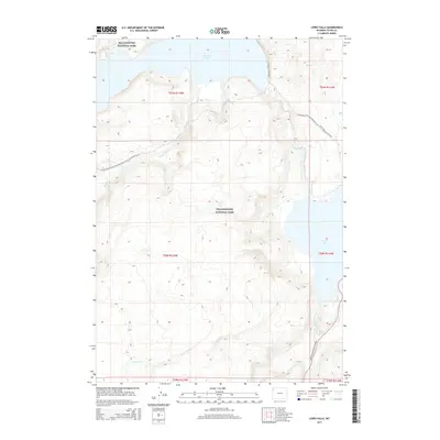
2015 Map of Lewis Falls
USGS Topo · Published 2015About this map
Yellowstone National Park encompasses this entire high-altitude landscape, where the waters of the south-central plateau converge toward the Lewis River. The geography is defined by significant aquatic features, from the expansive southern reach of Shoshone Lake in the north to the northern tip of Lewis Lake in the southeast. At the junction where the river drains southward, the topography descends sharply at Lewis Falls. This 2015 survey highlights the modern infrastructure of the park, including the John D Rockefeller Jr Pkwy following the river corridor and the high-elevation route of the Continental Divide National Scenic Trail- Wyoming Portion. The map details a complex drainage network involving Moose Cr, Summit Cr, and Polecat Cr, providing a clear view of the park's wilderness management and recreational trail systems like the Delacy Creek Trail.
Find a feature on this map
19 named features on this map. Tap any name to fly to it.
Don’t see what you’re looking for? This feature index may not catch every label — zoom into the map to look around manually.
Map Details
Editions of this 2015 Lewis Falls Map
This is the sole edition of this map. No revisions or reprints were ever made.
Other maps of this area

1886 · Shoshone
USGS Topo · 1:125,000

1888 · Shoshone
USGS Topo · 1:125,000

1895 · Shoshone
USGS Topo · 1:125,000

1901 · Shoshone
USGS Topo · 1:125,000

1908 · Shoshone
USGS Topo · 1:125,000

1911 · Shoshone
USGS Topo · 1:125,000

1955 · Ashton
USGS Topo · 1:250,000
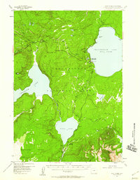
1956 · West Thumb
USGS Topo · 1:62,500

1956 · Old Faithful
USGS Topo · 1:62,500

1956 · Grassy Lake Reservoir
USGS Topo · 1:62,500