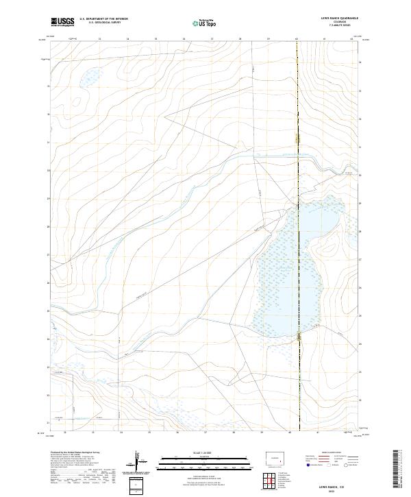
2022 Map of Lewis Ranch
USGS Topo · Published 2022About this map
Horse Creek Reservoir dominates this landscape on the boundary of Otero and Bent counties, serving as a critical node in a complex network of agricultural water management. The high plains terrain is defined by engineered waterways that redirect flow across the arid basin, including the expansive Fort Lyon Storage Canal and the Horse Creek Reservoir Inlet Ditch. These features, along with the Horse Cr Reservoir Outlet Ditch and the Lewis Lateral, illustrate the intensive human modification required to support irrigation in this part of Colorado. A sparse grid of rural county roads, such as Timber Lake Rd and Co RD 33, provide the only terrestrial access through these township and range sections, where the proximity to Horse Cr remains the primary influence on the land's utility and settlement patterns.
Find a feature on this map
22 named features on this map. Tap any name to fly to it.
Don’t see what you’re looking for? This feature index may not catch every label — zoom into the map to look around manually.
Map Details
Editions of this 2022 Lewis Ranch Map
This is the sole edition of this map. No revisions or reprints were ever made.
Other maps of this area

1891 · Catlin
USGS Topo · 1:125,000

1891 · Las Animas
USGS Topo · 1:125,000

1893 · Las Animas
USGS Topo · 1:125,000

1893 · Catlin
USGS Topo · 1:125,000

1953 · Cheraw
USGS Topo · 1:24,000

1953 · Cornelia
USGS Topo · 1:24,000

1953 · Hadley
USGS Topo · 1:24,000

1954 · Meredith Hill
USGS Topo · 1:24,000

1954 · Lamar
USGS Topo · 1:250,000

1955 · Mc Intosh Ranch
USGS Topo · 1:24,000