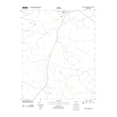
2010 Map of Lewiston Woodville
USGS Topo · Published 2010About this map
Lewiston Woodville and the adjacent settlement of Woodville anchor this corner of Bertie County, where agricultural fields are divided by deep drainages feeding into the Roanoke River. The river forms a major geographical boundary along the western edge, marked by landings such as Flag Run Landing and Apple Tree Landing, indicating a landscape historically tied to waterway access. Further east, the headwaters of the Cashie River emerge, while Indian Creek and Coniott Creek carve through the central and southern reaches. This 2010 survey illustrates a rural network of roads with names that hint at local history and industry, including Francis Mill Rd and Spring Hill Church Rd. The geography is defined by low-lying wetlands and points like Buzzard Point, while small named settlements like Cahaba persist along the winding paths of Indian Woods Rd.
Find a feature on this map
28 named features on this map. Tap any name to fly to it.
Don’t see what you’re looking for? This feature index may not catch every label — zoom into the map to look around manually.
Map Details
Editions of this 2010 Lewiston Woodville Map
This is the sole edition of this map. No revisions or reprints were ever made.
Other maps of this area

1901 · Parmele
USGS Topo · 1:62,500

1901 · Williamston
USGS Topo · 1:62,500

1902 · Williamston
USGS Topo · 1:62,500

1902 · Parmele
USGS Topo · 1:62,500

1953 · Norfolk
USGS Topo · 1:250,000

1953 · Rocky Mount
USGS Topo · 1:250,000

1954 · Rocky Mount
USGS Topo · 1:250,000

1962 · Palmyra
USGS Topo · 1:24,000

1962 · Norfleet
USGS Topo · 1:24,000

1972 · Republican
USGS Topo · 1:24,000