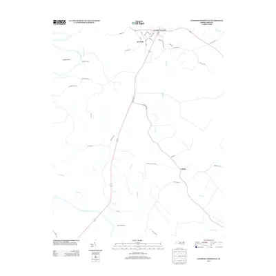
2013 Map of Lewiston Woodville
USGS Topo · Published 2013About this map
Lewiston Woodville and the smaller settlement of Woodville sit at the northern edge of this Bertie County landscape, where regional roads like Hoggard Rd and Roanoke St converge. The terrain is defined by its relationship to moving water, with the Roanoke River and Cashie River framing a network of smaller tributaries. The presence of Apple Tree Landing and Flag Run Landing indicates historical river access points along the Roanoke, while inland, the settlement of Cahaba serves as a junction for local routes such as Spring Hill Church Rd and Billip Club Rd.
Find a feature on this map
42 named features on this map. Tap any name to fly to it.
Don’t see what you’re looking for? This feature index may not catch every label — zoom into the map to look around manually.
Map Details
Editions of this 2013 Lewiston Woodville Map
This is the sole edition of this map. No revisions or reprints were ever made.
Other maps of this area

1901 · Parmele
USGS Topo · 1:62,500

1901 · Williamston
USGS Topo · 1:62,500

1902 · Williamston
USGS Topo · 1:62,500

1902 · Parmele
USGS Topo · 1:62,500

1953 · Norfolk
USGS Topo · 1:250,000

1953 · Rocky Mount
USGS Topo · 1:250,000

1954 · Rocky Mount
USGS Topo · 1:250,000

1962 · Palmyra
USGS Topo · 1:24,000

1962 · Norfleet
USGS Topo · 1:24,000

1972 · Republican
USGS Topo · 1:24,000