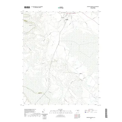
2021 Map of Lewiston Woodville
USGS Topo · Published 2021About this map
Lewiston Woodville serves as the central hub of this eastern North Carolina landscape, where the town grid meets a complex network of wetlands and river bends. The western boundary is defined by the winding course of the Roanoke River, featuring named landmarks like Buzzard Point and the adjacent Canal Gut. The topography here is relatively flat, dominated by the expansive Roquist Pocosin to the east, a distinctive wetland environment that influences local drainage and road patterns.
Find a feature on this map
38 named features on this map. Tap any name to fly to it.
Don’t see what you’re looking for? This feature index may not catch every label — zoom into the map to look around manually.
Map Details
Editions of this 2021 Lewiston Woodville Map
This is the sole edition of this map. No revisions or reprints were ever made.
Other maps of this area

1901 · Parmele
USGS Topo · 1:62,500

1901 · Williamston
USGS Topo · 1:62,500

1902 · Williamston
USGS Topo · 1:62,500

1902 · Parmele
USGS Topo · 1:62,500

1953 · Norfolk
USGS Topo · 1:250,000

1953 · Rocky Mount
USGS Topo · 1:250,000

1954 · Rocky Mount
USGS Topo · 1:250,000

1962 · Palmyra
USGS Topo · 1:24,000

1962 · Norfleet
USGS Topo · 1:24,000

1972 · Republican
USGS Topo · 1:24,000