
1959 Map of Lewistown
USGS Topo · Published 1959About this map
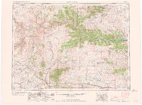
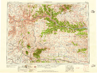
Lewistown serves as the central hub of this mid-century Central Montana landscape, where the agricultural plains meet the distinct elevations of the South Moccasin Mtns and the Little Rockies. The region is defined by the winding course of the Missouri River and its many tributaries, including the Judith River and Dog Creek. This era of the 1950s captures the infrastructure of the local economy, from the Cat Creek Oil Field in the southeast to the rail networks of the Great Northern and the Chicago Milwaukee St Paul and Pacific. Large tracts of protected land are established, notably the Fort Belknap Indian Reservation, the Fort Peck Game Range, and the Lewis and Clark National Forest. Significant local landmarks include the Everson Ranch Headquarters and the Leroy Post Office, providing specific points of reference for genealogical research and historical study of these rural communities.
Find a feature on this map
87 named features on this map. Tap any name to fly to it.
Don’t see what you’re looking for? This feature index may not catch every label — zoom into the map to look around manually.
Map Details
Editions of this 1959 Lewistown Map
3 editions found
Other maps of this area

1886 · Little Belt Mts.
USGS Topo · 1:250,000

1889 · Big Snowy Mountain
USGS Topo · 1:250,000

1890 · Fort Benton
USGS Topo · 1:250,000

1892 · Fort Benton
USGS Topo · 1:250,000

1893 · Big Snowy Mountain
USGS Topo · 1:250,000

1894 · Little Belt Mts.
USGS Topo · 1:250,000

1897 · Fort Benton
USGS Topo · 1:250,000

1897 · Little Belt Mts.
USGS Topo · 1:250,000

1898 · Little Belt Mts.
USGS Topo · 1:250,000

1902 · Little Belt Mts.
USGS Topo · 1:250,000