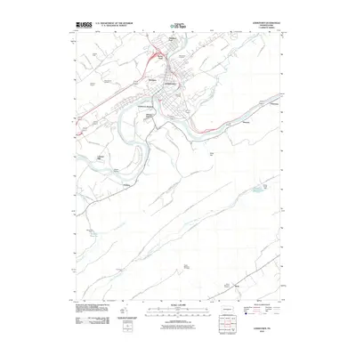
2010 Map of Lewistown
USGS Topo · Published 2010About this map
Lewistown serves as the central hub of this Mifflin County landscape, situated at the confluence of Kishacoquillas Creek and the Juniata River. The map documents a complex transportation corridor, where the historic path of the river is mirrored by the rails serving Lewistown Junction and the industrial infrastructure of Juniata Terrace. Outside the primary borough, residential development is visible in communities like Highland Park, Mount Rock, and Colonial Hills, while smaller clusters like Hawstone and Shawnee line the river to the east.
Find a feature on this map
66 named features on this map. Tap any name to fly to it.
Don’t see what you’re looking for? This feature index may not catch every label — zoom into the map to look around manually.
Map Details
Editions of this 2010 Lewistown Map
This is the sole edition of this map. No revisions or reprints were ever made.
Other maps of this area

1919 · Mattawana
USGS Topo · 1:62,500

1924 · Lewistown
USGS Topo · 1:62,500

1925 · Mifflintown
USGS Topo · 1:48,000

1927 · Lewisburg
USGS Topo · 1:62,500

1930 · Loysville
USGS Topo · 1:62,500

1933 · Loysville
USGS Topo · 1:62,500

1934 · Mifflintown
USGS Topo · 1:62,500

1936 · East Waterford
USGS Topo · 1:48,000

1937 · Mifflintown
USGS Topo · 1:62,500

1941 · East Waterford
USGS Topo · 1:62,500