2023 Map of Lewistown
USGS Topo · Published 2023About this map
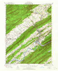
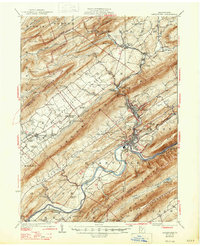
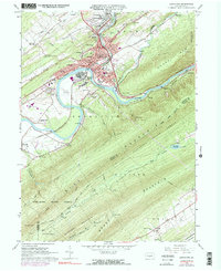
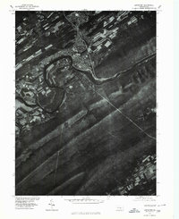
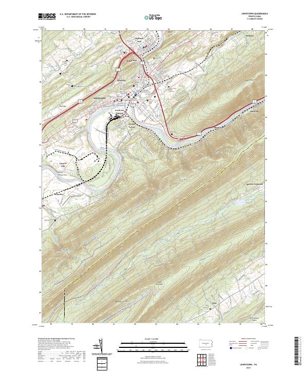
Lewistown serves as a dense hub of civic and religious life along the Juniata River, where the historic Mifflin County Courthouse stands as a focal point for the surrounding valley. The landscape is defined by the tight geometry of the river's path through the ridges of Big Ridge and Shade Mountain, with the community of Juniata Terrace overlooking the water. This region's genealogical depth is evident in the variety of legacy sites, ranging from the African Methodist Episcopal Cem and Saint John's Lutheran Church to the more isolated County Home Potters Field Cem.
Find a feature on this map
139 named features on this map. Tap any name to fly to it.
Don’t see what you’re looking for? This feature index may not catch every label — zoom into the map to look around manually.
Map Details
Editions of this 2023 Lewistown Map
This is the sole edition of this map. No revisions or reprints were ever made.
Historical Maps of Fairview Through Time
6 maps found