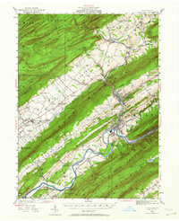
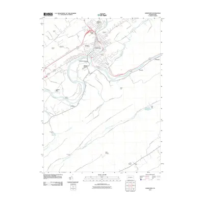
1924 Map of Lewistown
USGS Topo · Published 1964About this map
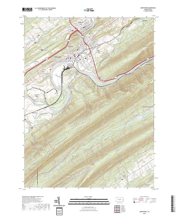
The Juniata River snakes through the southern portion of this mid-1920s landscape, serving as a primary corridor for the Pennsylvania RR and connecting settlements like Longfellow and Granville. The industrial and commercial heart of the region is centered at Lewistown, where the river meets Kishacoquillas Creek. To the north, the terrain is defined by the massive ridges of Jacks Mountain and Stone Mountain, which cradle the productive agricultural lands of the Kishcoquillas Valley.
Find a feature on this map
111 named features on this map. Tap any name to fly to it.
Don’t see what you’re looking for? This feature index may not catch every label — zoom into the map to look around manually.
Map Details
Editions of this 1924 Lewistown Map
2 editions found

Historical Maps of Lewistown Through Time
10 maps found
1924 Lewistown
Mifflin County, PA
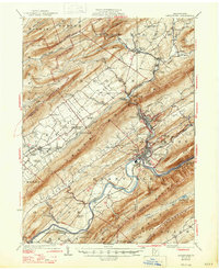
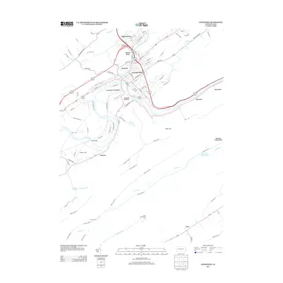
1927 Lewistown
Mifflin County, PA

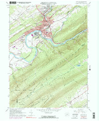
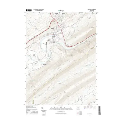
1943 Lewistown
Mifflin County, PA
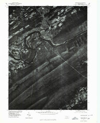
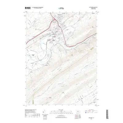
1966 Lewistown
Mifflin County, PA
1977 Lewistown
Mifflin County, PA
2010 Lewistown
Mifflin County, PA
2013 Lewistown
Mifflin County, PA
2016 Lewistown
Mifflin County, PA
2019 Lewistown
Mifflin County, PA
2023 Lewistown
Mifflin County, PA