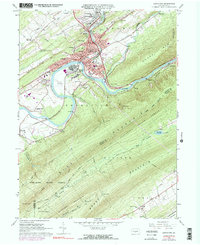
1966 Map of Lewistown
USGS Topo · Published 1991About this map
The Juniata River carves through the Ridge and Valley province here, anchoring a landscape where industrial infrastructure and mountain wilderness meet. In the mid-1960s, Lewistown serves as a dense hub of civic and religious life, featuring the Municipal Bldg, the Courthouse, and a cluster of parochial and public education sites like Sacred Heart Sch and the Seventh Ward Sch. The river valley acts as a tight corridor for the Penn Central railroad, which passes through Lewistown Junction and winds southeast through the steep Lewistown Narrows.
Find a feature on this map
58 named features on this map. Tap any name to fly to it.
Don’t see what you’re looking for? This feature index may not catch every label — zoom into the map to look around manually.
Map Details
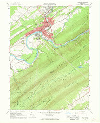
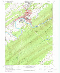
Editions of this 1966 Lewistown Map
Other maps of this area

1919 · Mattawana
USGS Topo · 1:62,500

1924 · Lewistown
USGS Topo · 1:62,500

1925 · Mifflintown
USGS Topo · 1:48,000

1927 · Lewisburg
USGS Topo · 1:62,500

1930 · Loysville
USGS Topo · 1:62,500

1933 · Loysville
USGS Topo · 1:62,500

1934 · Mifflintown
USGS Topo · 1:62,500

1936 · East Waterford
USGS Topo · 1:48,000

1937 · Mifflintown
USGS Topo · 1:62,500

1941 · East Waterford
USGS Topo · 1:62,500