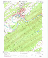
1966 Map of Lewistown
USGS Topo · Published 1973About this map
The Juniata River carves a deep valley through the ridges of Mifflin County, serving as the primary corridor for the Penn Central railroad and the concentrated development of Lewistown. This mid-century view shows the town during a period of transition, with its municipal core, including the Courthouse and Municipal Bldg, surrounded by established neighborhoods like Klondyke and Highland Park. The landscape is defined by the sharp convergence of Kishcoquillas Creek and Jacks Creek into the river, a geographic bottleneck that dictated the early industrial footprint of the region.
Find a feature on this map
79 named features on this map. Tap any name to fly to it.
Don’t see what you’re looking for? This feature index may not catch every label — zoom into the map to look around manually.
Map Details
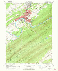
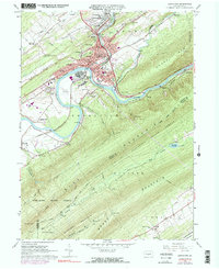
Editions of this 1966 Lewistown Map
Other maps of this area

1919 · Mattawana
USGS Topo · 1:62,500

1924 · Lewistown
USGS Topo · 1:62,500

1925 · Mifflintown
USGS Topo · 1:48,000

1927 · Lewisburg
USGS Topo · 1:62,500

1930 · Loysville
USGS Topo · 1:62,500

1933 · Loysville
USGS Topo · 1:62,500

1934 · Mifflintown
USGS Topo · 1:62,500

1936 · East Waterford
USGS Topo · 1:48,000

1937 · Mifflintown
USGS Topo · 1:62,500

1941 · East Waterford
USGS Topo · 1:62,500