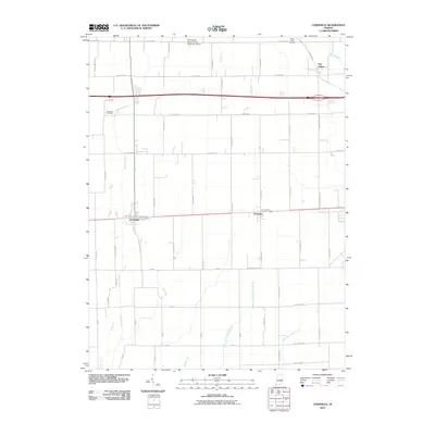
2010 Map of Lewisville
USGS Topo · Published 2010About this map
The Flatrock River meanders through this portion of Henry County, anchoring a landscape defined by traditional Indiana agriculture and a long-established grid of country roads. Small rural hubs like Lewisville and Straughn sit along the east-west corridor, while New Lisbon occupies the northeastern corner, surrounded by the headwaters of Lick Branch. The map reveals a highly managed hydrological system, where natural watercourses like Applebutter Creek are supplemented by man-made drainage such as Hall Ditch and Prine Ditch.
Find a feature on this map
57 named features on this map. Tap any name to fly to it.
Don’t see what you’re looking for? This feature index may not catch every label — zoom into the map to look around manually.
Map Details
Editions of this 2010 Lewisville Map
This is the sole edition of this map. No revisions or reprints were ever made.
Other maps of this area

1948 · Lewisville
USGS Topo · 1:24,000

1949 · New Castle West
USGS Topo · 1:24,000

1950 · New Castle East
USGS Topo · 1:24,000

1950 · Dunreith
USGS Topo · 1:24,000

1950 · Lewisville
USGS Topo · 1:24,000

1953 · Cincinnati
USGS Topo · 1:250,000

1956 · Connersville
USGS Topo · 1:24,000

1957 · Cincinnati
USGS Topo · 1:250,000

1959 · Mays
USGS Topo · 1:24,000

1959 · Falmouth
USGS Topo · 1:24,000