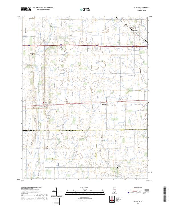
2022 Map of Lewisville
USGS Topo · Published 2022About this map
The town of Lewisville serves as a central hub on this Indiana landscape, where the historic National Rd corridor intersects with a network of rural county roads. The terrain is defined by a dense grid of agricultural drainage and natural waterways, including the Flatrock River, Applebuttee Cr, and Symons Cr. To the east, the settlement of Straughn sits along the same primary thoroughfare, while New Lisbon occupies the northeastern corner of the map.
Find a feature on this map
48 named features on this map. Tap any name to fly to it.
Don’t see what you’re looking for? This feature index may not catch every label — zoom into the map to look around manually.
Map Details
Editions of this 2022 Lewisville Map
This is the sole edition of this map. No revisions or reprints were ever made.
Other maps of this area

1948 · Lewisville
USGS Topo · 1:24,000

1949 · New Castle West
USGS Topo · 1:24,000

1950 · New Castle East
USGS Topo · 1:24,000

1950 · Dunreith
USGS Topo · 1:24,000

1950 · Lewisville
USGS Topo · 1:24,000

1953 · Cincinnati
USGS Topo · 1:250,000

1956 · Connersville
USGS Topo · 1:24,000

1957 · Cincinnati
USGS Topo · 1:250,000

1959 · Mays
USGS Topo · 1:24,000

1959 · Falmouth
USGS Topo · 1:24,000