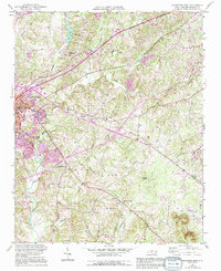
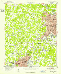
1950 Map of Lexington East
USGS Topo · Published 1994About this map
The eastern reaches of Lexington expand into the rolling Piedmont landscape of Davidson County in this mid-century survey. The terrain is defined by the drainage networks of Abbotts Creek and Hamby Creek, which fed early local industry and infrastructure like the Filtration Plant near City Lake. The map captures a moment of transition as traditional rural landmarks like the County Home and the State Prison Camp No 602 sit alongside growing residential clusters.
Find a feature on this map
27 named features on this map. Tap any name to fly to it.
Don’t see what you’re looking for? This feature index may not catch every label — zoom into the map to look around manually.
Map Details
Editions of this 1950 Lexington East Map
4 editions found
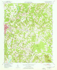
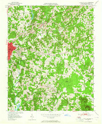
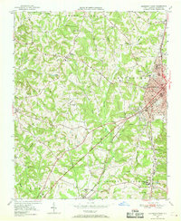
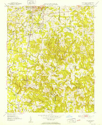
Other maps of this area

1949 · Denton NW
USGS Topo · 1:24,000
1949 · Eller
USGS Topo · 1:24,000
1949 · High Point West
USGS Topo · 1:24,000
1950 · Lexington East
USGS Topo · 1:24,000
1950 · Lexington West
USGS Topo · 1:24,000

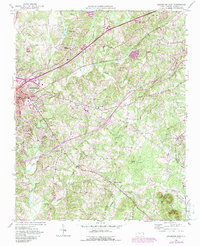
1951 · Lexington East
USGS Topo · 1:24,000

1951 · Lexington West
USGS Topo · 1:24,000
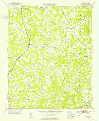
1951 · Fair Grove
USGS Topo · 1:24,000

1953 · Charlotte
USGS Topo · 1:250,000

1954 · Charlotte
USGS Topo · 1:250,000