
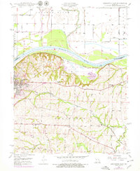
1949 Map of Lexington East
USGS Topo · Published 1963About this map
Lexington sits at a strategic bend where the Missouri River and Crooked River meet, anchoring a landscape of fertile bottomlands and rolling bluffs in the late 1940s. The map illustrates a community shaped by education and industry, notably featuring the Wentworth Military Academy and the Wentworth Country Club on the heights above the river. Evidence of the region’s coal mining history is visible through several marked Mine Dumps scattered near the Missouri Pacific railroad lines, which follow the river's path and the drainage of Lick Fork.
Find a feature on this map
29 named features on this map. Tap any name to fly to it.
Don’t see what you’re looking for? This feature index may not catch every label — zoom into the map to look around manually.
Map Details
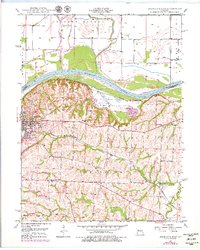
Editions of this 1949 Lexington East Map
3 editions found
Other maps of this area

1889 · Lexington
USGS Topo · 1:125,000

1949 · Mayview
USGS Topo · 1:24,000

1949 · Lexington West
USGS Topo · 1:24,000

1949 · Odessa North
USGS Topo · 1:24,000

1950 · Lexington East
USGS Topo · 1:24,000

1950 · Mayview
USGS Topo · 1:24,000

1950 · Odessa North
USGS Topo · 1:24,000
1950 · Lexington West
USGS Topo · 1:24,000

1950 · Dover
USGS Topo · 1:24,000
1951 · Dover
USGS Topo · 1:24,000