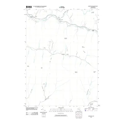
2010 Map of Lexington
USGS Topo · Published 2010About this map
Lexington and Jewett Center sit along the northern corridor of the Schoharie Creek valley, where the landscape is defined by the steep rises of the Catskill Mountains. This topographic survey shows a series of tight valley settlements connected by winding mountain roads, including South Jewett and Spruceton. The terrain is characterized by numerous hollows, such as Mink Hollow and Peck Hollow, which funnel drainage into the West Kill and East Kill tributaries.
Find a feature on this map
58 named features on this map. Tap any name to fly to it.
Don’t see what you’re looking for? This feature index may not catch every label — zoom into the map to look around manually.
Map Details
Editions of this 2010 Lexington Map
This is the sole edition of this map. No revisions or reprints were ever made.
Other maps of this area

1892 · Kaaterskill
USGS Topo · 1:62,500

1893 · Kaaterskill
USGS Topo · 1:62,500

1893 · Durham
USGS Topo · 1:62,500

1894 · Kaaterskill
USGS Topo · 1:62,500

1894 · Durham
USGS Topo · 1:62,500

1899 · Kaaterskill
USGS Topo · 1:62,500

1900 · Phoenicia
USGS Topo · 1:62,500

1901 · Gilboa
USGS Topo · 1:62,500

1903 · Gilboa
USGS Topo · 1:62,500

1903 · Phoenicia
USGS Topo · 1:62,500