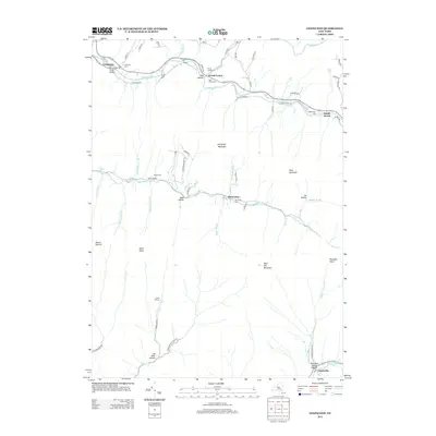
2013 Map of Lexington
USGS Topo · Published 2013About this map
Lexington serves as the focal point for this survey of Greene County terrain, where the northern drainage of Schoharie Cr meets several significant mountain passes. This high-elevation landscape is defined by its deep notches and hollows, including Mill Hollow and Mink Hollow, which provide the primary corridors for early settlement and transport. Small agricultural and residential clusters like Jewett Center and South Jewett cling to the valley floors, while numerous family burial grounds, such as the Chase Family Cem and Gass Family Cem, remain as markers of the area's ancestral residents.
Find a feature on this map
71 named features on this map. Tap any name to fly to it.
Don’t see what you’re looking for? This feature index may not catch every label — zoom into the map to look around manually.
Map Details
Editions of this 2013 Lexington Map
This is the sole edition of this map. No revisions or reprints were ever made.
Other maps of this area

1892 · Kaaterskill
USGS Topo · 1:62,500

1893 · Kaaterskill
USGS Topo · 1:62,500

1893 · Durham
USGS Topo · 1:62,500

1894 · Kaaterskill
USGS Topo · 1:62,500

1894 · Durham
USGS Topo · 1:62,500

1899 · Kaaterskill
USGS Topo · 1:62,500

1900 · Phoenicia
USGS Topo · 1:62,500

1901 · Gilboa
USGS Topo · 1:62,500

1903 · Gilboa
USGS Topo · 1:62,500

1903 · Phoenicia
USGS Topo · 1:62,500