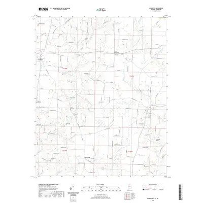
2020 Map of Lexington
USGS Topo · Published 2020About this map
Lexington and Anderson anchor this portion of Lauderdale County, Alabama, where the landscape is defined by the complex drainage of Anderson Cr and its many forks. The area is dotted with small rural communities like Grassy and Whitehead, reflecting a long-standing settlement pattern centered on family-named landmarks and local burial grounds. Many of these sites, such as the Hammond Homestead Cem and Portertown Cem, provide essential data for family historians.
Find a feature on this map
159 named features on this map. Tap any name to fly to it.
Don’t see what you’re looking for? This feature index may not catch every label — zoom into the map to look around manually.
Map Details
Editions of this 2020 Lexington Map
This is the sole edition of this map. No revisions or reprints were ever made.
Other maps of this area

1914 · Rogersville
USGS Topo · 1:48,000

1916 · Rogersville
USGS Topo · 1:62,500

1936 · Union Hill
USGS Topo · 1:24,000

1936 · Thorntontown
USGS Topo · 1:24,000

1936 · Lexington
USGS Topo · 1:24,000

1936 · Loretto
USGS Topo · 1:24,000

1936 · Wheeler Dam
USGS Topo · 1:24,000
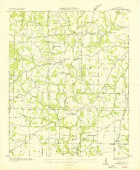
1936 · Center Hill
USGS Topo · 1:24,000

1936 · Appleton
USGS Topo · 1:24,000

1936 · Cairo
USGS Topo · 1:24,000