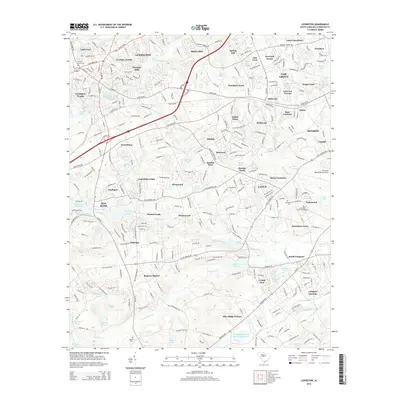
2014 Map of Lexington
USGS Topo · Published 2014About this map
Lexington and the surrounding suburban developments of Lexington County are intricately detailed in this 2014 survey. The landscape is defined by the dendritic drainage patterns of Twelvemile Cr and Congaree Cr, which supported historical industrial sites like the Lexington Mill Pond and Saxe-Gotha Millpond. As the area transitioned from its agrarian and milling roots, residential clusters such as Coventry Woods, Heritage Hills, and Baskin Hills emerged, filling the spaces between established hubs like Red Bank.
Find a feature on this map
303 named features on this map. Tap any name to fly to it.
Don’t see what you’re looking for? This feature index may not catch every label — zoom into the map to look around manually.
Map Details
Editions of this 2014 Lexington Map
This is the sole edition of this map. No revisions or reprints were ever made.
Other maps of this area

1904 · Columbia
USGS Topo · 1:125,000

1941 · Spartanburg
USGS Topo · 1:250,000

1944 · Gilbert
USGS Topo · 1:62,500

1944 · Edmund
USGS Topo · 1:62,500

1946 · Irmo
USGS Topo · 1:24,000

1947 · Columbia North
USGS Topo · 1:24,000

1948 · Irmo
USGS Topo · 1:24,000

1948 · Columbia North
USGS Topo · 1:24,000

1953 · Spartanburg
USGS Topo · 1:250,000

1954 · Augusta
USGS Topo · 1:250,000