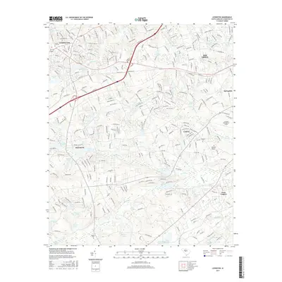
2017 Map of Lexington
USGS Topo · Published 2017About this map
Lexington and its surrounding communities are mapped here during a period of significant suburban expansion west of the state capital. The landscape is defined by its complex network of water bodies, from the Lexington Mill Pond on Twelvemile Cr to the southern reaches of Congaree Creek. This geography supported early local industry, evidenced by the Saxe-Gotha Millpond and the specialized Pennsylvania Glass Sand-Settling Pond near the southern boundary. Residential growth is visible in the transition between established settlements like Red Bank and the sprawling developments around the Columbia Metropolitan Airport. For those researching family history, the map preserves the locations of numerous burial sites, including the George Gross Cem, Emmanuel Cem, and Bethany Cem, alongside the large Southland Memorial Gardens.
Find a feature on this map
303 named features on this map. Tap any name to fly to it.
Don’t see what you’re looking for? This feature index may not catch every label — zoom into the map to look around manually.
Map Details
Editions of this 2017 Lexington Map
This is the sole edition of this map. No revisions or reprints were ever made.
Other maps of this area

1904 · Columbia
USGS Topo · 1:125,000

1941 · Spartanburg
USGS Topo · 1:250,000

1944 · Gilbert
USGS Topo · 1:62,500

1944 · Edmund
USGS Topo · 1:62,500

1946 · Irmo
USGS Topo · 1:24,000

1947 · Columbia North
USGS Topo · 1:24,000

1948 · Irmo
USGS Topo · 1:24,000

1948 · Columbia North
USGS Topo · 1:24,000

1953 · Spartanburg
USGS Topo · 1:250,000

1954 · Augusta
USGS Topo · 1:250,000