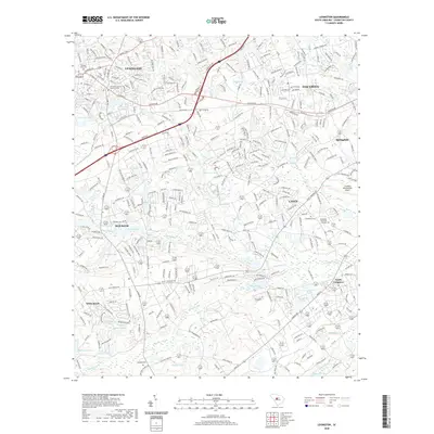
2020 Map of Lexington
USGS Topo · Published 2020About this map
Lexington serves as the focal point of this South Carolina landscape, where the Lexington County Judicial Center and historic Lexington Mill Pond anchor the town’s civic and industrial core. The terrain is defined by a dense network of water bodies, including Gibsons Pond and the expansive Congaree Creek drainage system. To the east, the Columbia Metropolitan Airport marks the transition toward more suburban developments like Oak Grove and Springdale.
Find a feature on this map
52 named features on this map. Tap any name to fly to it.
Don’t see what you’re looking for? This feature index may not catch every label — zoom into the map to look around manually.
Map Details
Editions of this 2020 Lexington Map
This is the sole edition of this map. No revisions or reprints were ever made.
Other maps of this area

1904 · Columbia
USGS Topo · 1:125,000

1941 · Spartanburg
USGS Topo · 1:250,000

1944 · Gilbert
USGS Topo · 1:62,500

1944 · Edmund
USGS Topo · 1:62,500

1946 · Irmo
USGS Topo · 1:24,000

1947 · Columbia North
USGS Topo · 1:24,000

1948 · Irmo
USGS Topo · 1:24,000

1948 · Columbia North
USGS Topo · 1:24,000

1953 · Spartanburg
USGS Topo · 1:250,000

1954 · Augusta
USGS Topo · 1:250,000