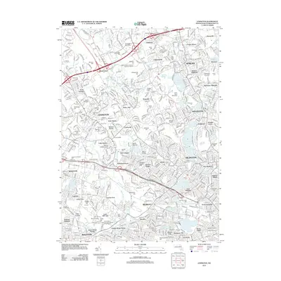
2012 Map of Lexington
USGS Topo · Published 2012About this map
Ye Olde Burying Ground and the Old Belfry stand as central landmarks in this densely developed corridor northwest of Boston. This 2012 representation of Middlesex County illustrates the modern suburban landscape of Lexington, Woburn, and Arlington, where contemporary research facilities like Ledgemont Research Park sit alongside preserved early-industrial sites such as the Old Schwab Mill. The terrain is defined by a series of prominent drumlins and hills, including Mount Gilboa and Mount Ephraim, which separate the residential neighborhoods from the commercial centers of Central Square and Waverley. Educational and scientific institutions figure prominently in the landscape, from the Harvard Observatory and Radcliffe College in the south to the Northeastern University Suburban Campus near Babylon Hill. Transit patterns are clearly visible through the numerous commuter rail stops, including Beaver Brook Station and Munroe Station, which continue to shape the growth of these historic towns.
Find a feature on this map
155 named features on this map. Tap any name to fly to it.
Don’t see what you’re looking for? This feature index may not catch every label — zoom into the map to look around manually.
Map Details
Editions of this 2012 Lexington Map
This is the sole edition of this map. No revisions or reprints were ever made.
Other maps of this area

1886 · Lawrence
USGS Topo · 1:62,500

1886 · Lowell
USGS Topo · 1:62,500

1886 · Framingham
USGS Topo · 1:62,500

1888 · Lawrence
USGS Topo · 1:62,500

1889 · Framingham
USGS Topo · 1:62,500

1893 · Lowell
USGS Topo · 1:62,500

1893 · Boston
USGS Topo · 1:62,500

1893 · Lawrence
USGS Topo · 1:62,500

1894 · Framingham
USGS Topo · 1:62,500

1903 · Boston
USGS Topo · 1:62,500