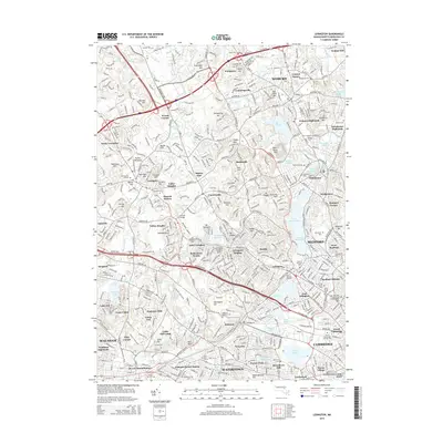
2015 Map of Lexington
USGS Topo · Published 2015About this map
Lexington and its surrounding Revolutionary War-era landscapes appear here in high-resolution detail, showing a densely settled corridor of eastern Massachusetts. The map illustrates how historic village centers like Woburn, Winchester, and Arlington have integrated into a continuous suburban fabric while preserving significant landmarks of early American history. Notable sites of memory include the Old Burying Ground and Munroe Cemetery, alongside the Longfellow NHS further south.
Find a feature on this map
133 named features on this map. Tap any name to fly to it.
Don’t see what you’re looking for? This feature index may not catch every label — zoom into the map to look around manually.
Map Details
Editions of this 2015 Lexington Map
This is the sole edition of this map. No revisions or reprints were ever made.
Other maps of this area

1886 · Lawrence
USGS Topo · 1:62,500

1886 · Lowell
USGS Topo · 1:62,500

1886 · Framingham
USGS Topo · 1:62,500

1888 · Lawrence
USGS Topo · 1:62,500

1889 · Framingham
USGS Topo · 1:62,500

1893 · Lowell
USGS Topo · 1:62,500

1893 · Boston
USGS Topo · 1:62,500

1893 · Lawrence
USGS Topo · 1:62,500

1894 · Framingham
USGS Topo · 1:62,500

1903 · Boston
USGS Topo · 1:62,500