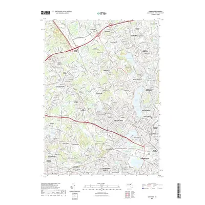
2021 Map of Lexington
USGS Topo · Published 2021About this map
Lexington and its surrounding Revolutionary War-era landscapes are shown here amidst the dense suburban development of modern Middlesex County. The map details the interconnectedness of historic centers like Woburn, Winchester, and Arlington, tracing the legacy of the region's early history through numerous preserved sites. Of particular note are the burial grounds that dot the landscape, including the Old Burying Ground and the Prince Hall Mystic Cem, alongside landmarks such as Belfry Hill.
Find a feature on this map
133 named features on this map. Tap any name to fly to it.
Don’t see what you’re looking for? This feature index may not catch every label — zoom into the map to look around manually.
Map Details
Editions of this 2021 Lexington Map
This is the sole edition of this map. No revisions or reprints were ever made.
Other maps of this area

1886 · Lawrence
USGS Topo · 1:62,500

1886 · Lowell
USGS Topo · 1:62,500

1886 · Framingham
USGS Topo · 1:62,500

1888 · Lawrence
USGS Topo · 1:62,500

1889 · Framingham
USGS Topo · 1:62,500

1893 · Lowell
USGS Topo · 1:62,500

1893 · Boston
USGS Topo · 1:62,500

1893 · Lawrence
USGS Topo · 1:62,500

1894 · Framingham
USGS Topo · 1:62,500

1903 · Boston
USGS Topo · 1:62,500