
1949 Map of Lexington West
USGS Topo · Published 1963About this map
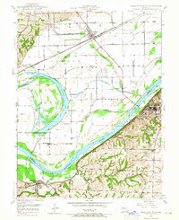
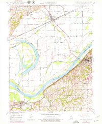
The Missouri River forms the central character of this mid-century survey, dividing the landscape between the bottoms of Ray and Lafayette counties. On the north bank, the rail junction at Henrietta serves as a nexus for the Atchison Topeka and Santa Fe and the Wabash railroads, set against the oxbow of Sunshine Lake. This area is marked by flood control infrastructure like the Flood Gate and numerous levees protecting the lowlands. To the south, the terrain rises sharply into the bluffs where the riverfront industrial activity of Myrick and the larger settlement of Lexington are established. Local life is anchored by rural institutions such as Ingle Ch, Foster Cem, and the Linden School, while the presence of several Mine Dumps indicates the region's historical reliance on coal extraction.
Find a feature on this map
30 named features on this map. Tap any name to fly to it.
Don’t see what you’re looking for? This feature index may not catch every label — zoom into the map to look around manually.
Map Details
Editions of this 1949 Lexington West Map
3 editions found
Other maps of this area

1889 · Lexington
USGS Topo · 1:125,000

1894 · Independence
USGS Topo · 1:125,000

1949 · Mayview
USGS Topo · 1:24,000

1949 · Lexington East
USGS Topo · 1:24,000

1949 · Odessa North
USGS Topo · 1:24,000

1950 · Lexington East
USGS Topo · 1:24,000

1950 · Mayview
USGS Topo · 1:24,000

1950 · Kansas City
USGS Topo · 1:250,000

1950 · Odessa North
USGS Topo · 1:24,000
1950 · Camden
USGS Topo · 1:24,000