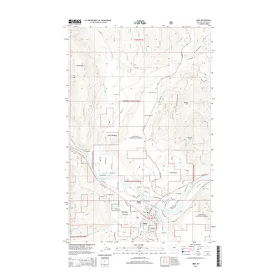
2014 Map of Libby
USGS Topo · Published 2014About this map
The Kootenai River carves a deep valley through the Purcell Mountains in this survey of northwestern Montana. The town of Libby serves as the primary hub, showing a grid of streets flanked by the Bnsf rail line and the residential expansion of Green Acres. The landscape is dominated by the Kootenai National Forest, where timber and forest management are evidenced by an extensive network of roads like Pipe Creek Rd and Bobtail Rd that snake through the drainage basins of Bull Creek and Rice Creek.
Find a feature on this map
110 named features on this map. Tap any name to fly to it.
Don’t see what you’re looking for? This feature index may not catch every label — zoom into the map to look around manually.
Map Details
Editions of this 2014 Libby Map
This is the sole edition of this map. No revisions or reprints were ever made.
Other maps of this area

1920 · Libby
USGS Topo · 1:125,000

1920 · Jennings
USGS Topo · 1:125,000

1930 · Libby
USGS Topo · 1:125,000

1932 · Libby
USGS Topo · 1:125,000

1935 · Thompson Lakes
USGS Topo · 1:96,000

1942 · Thompson Lakes
USGS Topo · 1:125,000

1957 · Kalispell
USGS Topo · 1:250,000

1960 · Kalispell
USGS Topo · 1:250,000

1961 · Kalispell
USGS Topo · 1:250,000

1963 · Scenery Mountain
USGS Topo · 1:24,000