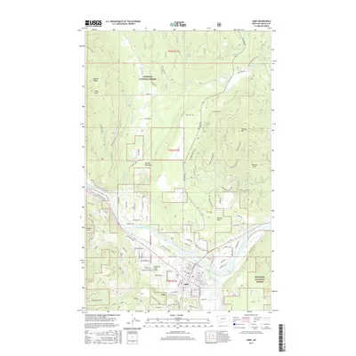
2017 Map of Libby
USGS Topo · Published 2017About this map
Libby serves as the focal point of this Northwest Montana landscape, situated along a sweeping bend of the Kootenai River. The town's layout, including the Libby Cem and the Paramenter Creek Bridge, reflects its position as a gateway to the surrounding Kootenai National Forest. The topography is dominated by the massive presence of Sheldon Mountain and the heights of Lindy Peak and Bobtail Ridge, which define the narrow valleys of Pipe Cr and Bobtail Cr.
Find a feature on this map
75 named features on this map. Tap any name to fly to it.
Don’t see what you’re looking for? This feature index may not catch every label — zoom into the map to look around manually.
Map Details
Editions of this 2017 Libby Map
This is the sole edition of this map. No revisions or reprints were ever made.
Other maps of this area

1920 · Libby
USGS Topo · 1:125,000

1920 · Jennings
USGS Topo · 1:125,000

1930 · Libby
USGS Topo · 1:125,000

1932 · Libby
USGS Topo · 1:125,000

1935 · Thompson Lakes
USGS Topo · 1:96,000

1942 · Thompson Lakes
USGS Topo · 1:125,000

1957 · Kalispell
USGS Topo · 1:250,000

1960 · Kalispell
USGS Topo · 1:250,000

1961 · Kalispell
USGS Topo · 1:250,000

1963 · Scenery Mountain
USGS Topo · 1:24,000