
1971 Map of Liberal
USGS Topo · Published 1971About this map
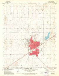
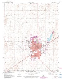
Liberal serves as a significant regional hub in the early 1970s, defined by its intersection of rail transportation and the expanding energy industry. The Chicago Rock Island and Pacific railroad cuts diagonally through the landscape, anchoring the city's commercial core near the Courthouse and City Hall. This period reveals a growing educational and civic infrastructure, evidenced by the presence of a Jr College, Southwest Medical Center, and numerous neighborhood schools like McKinley Sch and McDermott Sch.
Find a feature on this map
63 named features on this map. Tap any name to fly to it.
Don’t see what you’re looking for? This feature index may not catch every label — zoom into the map to look around manually.
Map Details
Editions of this 1971 Liberal Map
3 editions found
Other maps of this area

1954 · Perryton
USGS Topo · 1:250,000

1955 · Dodge City
USGS Topo · 1:250,000

1958 · Perryton
USGS Topo · 1:250,000

1958 · Dodge City
USGS Topo · 1:250,000

1959 · Dodge City
USGS Topo · 1:250,000

1967 · Tyrone
USGS Topo · 1:24,000

1968 · Liberal NE
USGS Topo · 1:24,000

1968 · Liberal NW
USGS Topo · 1:24,000

1971 · Hayne
USGS Topo · 1:24,000

1973 · Little Ponderosa
USGS Topo · 1:24,000