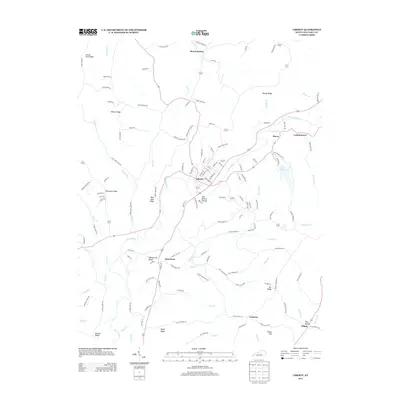
2013 Map of Liberty
USGS Topo · Published 2013About this map
Liberty serves as the central hub of this Casey County landscape, where the Green River winds through a complex system of ridges and hollows. The settlement pattern follows the drainage of the river and its numerous tributaries, such as Brush Cr and Calhoun Cr, with smaller communities like Pricetown, Moore, and Lanhamtown established along these corridors. To the east, Lake Liberty provides a significant water feature near the city, while the surrounding terrain is defined by prominent elevations including Blue Hole Ridge, Walnut Hill Ridge, and Rigney Ridge.
Find a feature on this map
136 named features on this map. Tap any name to fly to it.
Don’t see what you’re looking for? This feature index may not catch every label — zoom into the map to look around manually.
Map Details
Editions of this 2013 Liberty Map
This is the sole edition of this map. No revisions or reprints were ever made.
Other maps of this area

1952 · Ellisburg
USGS Topo · 1:24,000

1952 · Hustonville
USGS Topo · 1:24,000

1952 · Clementsville
USGS Topo · 1:24,000

1952 · Liberty
USGS Topo · 1:24,000

1952 · Yosemite
USGS Topo · 1:24,000

1953 · Bradfordsville NE
USGS Topo · 1:24,000

1953 · Phil
USGS Topo · 1:24,000

1953 · Mintonville
USGS Topo · 1:24,000

1953 · Dunnville
USGS Topo · 1:24,000

1957 · Winchester
USGS Topo · 1:250,000