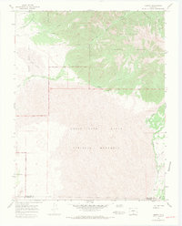
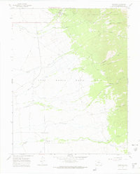
1967 Map of Liberty
USGS Topo · Published 1971About this map
The Great Sand Dunes National Monument dominates the southwestern portion of this 1960s landscape, where the shifting Sand Dunes meet the steep western face of the Sangre de Cristo Mountains. To the north, the small settlements of Duncan and Liberty sit at the mountain fringe, connected by a network of Jeep Trails and a Pack Trail that lead into the Rio Grande National Forest.
Find a feature on this map
29 named features on this map. Tap any name to fly to it.
Don’t see what you’re looking for? This feature index may not catch every label — zoom into the map to look around manually.
Map Details
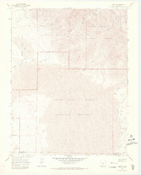
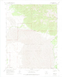
Editions of this 1967 Liberty Map
3 editions found
Other maps of this area

1889 · Huerfano Park
USGS Topo · 1:125,000

1892 · Huerfano Park
USGS Topo · 1:125,000

1954 · Trinidad
USGS Topo · 1:250,000

1955 · Trinidad
USGS Topo · 1:250,000

1958 · Trinidad
USGS Topo · 1:250,000

1959 · Trinidad
USGS Topo · 1:250,000
1960 · Beck Mountain
USGS Topo · 1:24,000

1965 · Medano Ranch
USGS Topo · 1:24,000

1965 · Zapata Ranch
USGS Topo · 1:24,000
1967 · Crestone
USGS Topo · 1:24,000