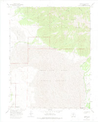
1967 Map of Liberty
USGS Topo · Published 1975About this map
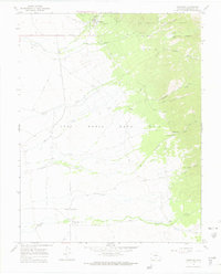
High-altitude desert and alpine forest meet at the edge of the Great Sand Dunes National Monument, where the steep slopes of the Rio Grande National Forest descend into the San Luis Valley. The map documents the sparse settlements of Liberty and Duncan, remnants of an era defined by resource extraction and high-country ranching. Evidence of early industry remains visible through a Mine and Prospect located near the headwaters of Short Creek.
Find a feature on this map
29 named features on this map. Tap any name to fly to it.
Don’t see what you’re looking for? This feature index may not catch every label — zoom into the map to look around manually.
Map Details
Editions of this 1967 Liberty Map
3 editions found
Other maps of this area

1889 · Huerfano Park
USGS Topo · 1:125,000

1892 · Huerfano Park
USGS Topo · 1:125,000

1954 · Trinidad
USGS Topo · 1:250,000

1955 · Trinidad
USGS Topo · 1:250,000

1958 · Trinidad
USGS Topo · 1:250,000

1959 · Trinidad
USGS Topo · 1:250,000
1960 · Beck Mountain
USGS Topo · 1:24,000

1965 · Medano Ranch
USGS Topo · 1:24,000

1965 · Zapata Ranch
USGS Topo · 1:24,000
1967 · Crestone
USGS Topo · 1:24,000