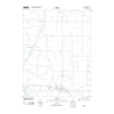
2010 Map of Liberty
USGS Topo · Published 2010About this map
Liberty serves as the focal point of this Eastern Indiana landscape, situated where the waters of Silver Creek and Hanna Creek converge toward the south. The terrain is defined by the drainage of the East Fork Whitewater River, which carries northern tributaries like Woods Creek and Locust Creek through a patchwork of rural holdings. Small named clusters such as Abington, Yankee Town, and Hopeville dot the western reaches of the quadrangle, illustrating the historical distribution of crossroads settlements in Union County.
Find a feature on this map
70 named features on this map. Tap any name to fly to it.
Don’t see what you’re looking for? This feature index may not catch every label — zoom into the map to look around manually.
Map Details
Editions of this 2010 Liberty Map
This is the sole edition of this map. No revisions or reprints were ever made.
Other maps of this area

1915 · New Paris
USGS Topo · 1:48,000

1915 · College Corner
USGS Topo · 1:48,000

1918 · College Corner
USGS Topo · 1:62,500

1918 · New Paris
USGS Topo · 1:62,500

1948 · Fairfield
USGS Topo · 1:24,000

1953 · Cincinnati
USGS Topo · 1:250,000

1956 · Everton
USGS Topo · 1:24,000

1956 · Brownsville
USGS Topo · 1:24,000

1957 · Cincinnati
USGS Topo · 1:250,000

1960 · Liberty
USGS Topo · 1:24,000