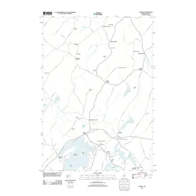
2011 Map of Liberty
USGS Topo · Published 2011About this map
The village of Liberty sits at the nexus of the Saint George River and Stevens Pond, serving as a central point for a landscape defined by its complex hydrology and rural hamlets. The terrain is marked by numerous family-named corners such as Gregorys Corner, Clarks Corner, and Whites Corner, which suggest a long-standing pattern of localized settlement and land ownership. The water network is particularly dense here, featuring several managed bodies including Trues Pond and Kingdom Bog, the latter of which is regulated by the Kingdom Bog Dam.
Find a feature on this map
101 named features on this map. Tap any name to fly to it.
Don’t see what you’re looking for? This feature index may not catch every label — zoom into the map to look around manually.
Map Details
Editions of this 2011 Liberty Map
This is the sole edition of this map. No revisions or reprints were ever made.
Other maps of this area

1915 · Belfast
USGS Topo · 1:62,500

1916 · Liberty
USGS Topo · 1:62,500

1917 · Belfast
USGS Topo · 1:62,500

1926 · Burnham
USGS Topo · 1:62,500

1932 · Brooks
USGS Topo · 1:62,500

1941 · Belfast
USGS Topo · 1:62,500

1942 · Liberty
USGS Topo · 1:62,500

1948 · Bangor
USGS Topo · 1:250,000

1950 · Belfast
USGS Topo · 1:50,000

1950 · Liberty
USGS Topo · 1:50,000