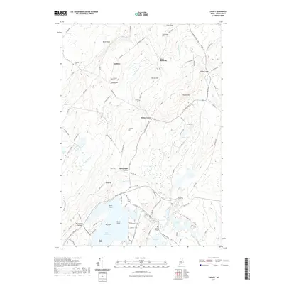
2021 Map of Liberty
USGS Topo · Published 2021About this map
Liberty serves as a central hub in this Waldo County landscape, situated at the outlet of Saint George Lake where the Saint George River begins its course southward. The terrain is defined by a series of distinct elevations, including Haystack Mtn and Hogback Mtn, which separate the various drainage basins of Halfmoon Stream, the Sheepscot River, and Stearns Brook. Genealogists will find a wealth of local history preserved in numerous burial grounds such as Mount Repose Cem, Hunts Memorial Cem, and Bradstreet Cem. Small rural clusters and crossroads settlements like Smithton, Whites Corner, and Thurstons Corner illustrate the historic settlement patterns of the Maine interior. The map also details the island-dotted waters of Saint George Lake, featuring Birch Island, Millstone Island, and Green Island, providing a clear record of the area's hydrography and shoreline development.
Find a feature on this map
103 named features on this map. Tap any name to fly to it.
Don’t see what you’re looking for? This feature index may not catch every label — zoom into the map to look around manually.
Map Details
Editions of this 2021 Liberty Map
This is the sole edition of this map. No revisions or reprints were ever made.
Other maps of this area

1915 · Belfast
USGS Topo · 1:62,500

1916 · Liberty
USGS Topo · 1:62,500

1917 · Belfast
USGS Topo · 1:62,500

1926 · Burnham
USGS Topo · 1:62,500

1932 · Brooks
USGS Topo · 1:62,500

1941 · Belfast
USGS Topo · 1:62,500

1942 · Liberty
USGS Topo · 1:62,500

1948 · Bangor
USGS Topo · 1:250,000

1950 · Belfast
USGS Topo · 1:50,000

1950 · Liberty
USGS Topo · 1:50,000