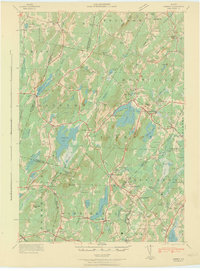
1942 Map of Liberty
USGS Topo · Published 1942About this map
Hibberts Gore and the surrounding township lands of Waldo County and Lincoln County appear here during the early 1940s, revealing a landscape defined by small-scale farming and crossroads settlements. The drainage of the Sheepscot River and its west branch creates a network of water bodies like Sheepscot Pond and St George Lake, which were central to local life. This area was a mosaic of rural school districts, with sites such as Handy Sch, Ridge Sch, and Linscott Sch serving the scattered population at the time of the survey.
Find a feature on this map
127 named features on this map. Tap any name to fly to it.
Don’t see what you’re looking for? This feature index may not catch every label — zoom into the map to look around manually.
Map Details
Editions of this 1942 Liberty Map
This is the sole edition of this map. No revisions or reprints were ever made.
Other maps of this area
1892 · Waterville
USGS Topo · 1:62,500
1893 · Vassalboro
USGS Topo · 1:62,500
1893 · Wiscasset
USGS Topo · 1:62,500
1898 · Vassalboro
USGS Topo · 1:62,500
1904 · Rockland
USGS Topo · 1:62,500
1906 · Rockland
USGS Topo · 1:62,500
1913 · Waldoboro
USGS Topo · 1:48,000
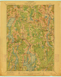
1915 · Waldoboro
USGS Topo · 1:62,500
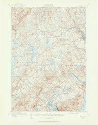
1915 · Belfast
USGS Topo · 1:62,500
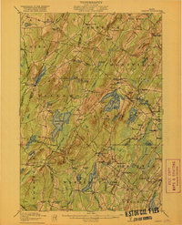
1916 · Liberty
USGS Topo · 1:62,500